
ViaMichelin is no longer limited to calculating routes between two points. Since the redesign of the platform and the recent updates to the application (version 16.0.3, July 2026), the tool directly integrates charging stations, accommodations, Michelin Guide restaurants, and tourist sites on the interactive map. Planning a complete enriched itinerary requires mastering a few settings that the interface does not always highlight.
Vehicle Settings and Real Cost Calculation in ViaMichelin
The default route calculation uses a generic vehicle profile. We recommend entering the brand, engine type, and fuel type from the first use: the displayed cost then includes actual consumption, tolls, and, since the latest versions, a revised rounding of distances and amounts.
Without this data, the budget estimate remains approximate, especially on long highway trips where the consumption differences between a diesel and a plug-in hybrid radically change the fuel cost. The application retains the vehicle profile from one session to another if you are logged into an account.
For those preparing a trip in a camper van, the settings make perfect sense. Unspecified dimensions do not trigger any alerts regarding height or weight restrictions. ViaMichelin offers three types of calculations: quick, economical, and discovery. The Discovery mode favors secondary roads and scenic views, a coherent choice for recreational vehicles that have no interest in taking the highway at full toll price.
We observe that many users overlook the “avoid low emission zones” option, even as restrictions tighten in several French urban areas. Checking this option before starting the calculation avoids unpleasant surprises when approaching Lyon, Strasbourg, or Marseille.
Configuring a route on the Michelin map with ViaMichelin takes less than two minutes once the vehicle profile is saved, and the difference in budget accuracy greatly justifies this initial step.
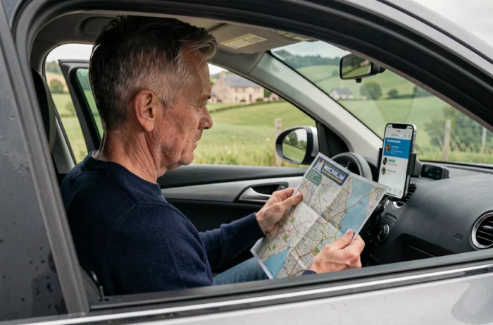
ViaMichelin Interactive Map: Utilizing Layers and Points of Interest
The ViaMichelin map utilizes Michelin cartographic backgrounds at scales ranging from 1/1,000,000 to 1/200,000. At each zoom level, different layers appear: gas stations, rest areas, hotels, starred restaurants.
The interest lies in the overlay of these layers with the calculated route. You can add a point of interest directly to the route, and the application recalculates the travel time by incorporating the stop. Since the July 2026 update, traffic information can be added to the calculation at any time from the route form, without needing to restart a complete search.
Charging Stations and Gas Stations on the Route
For electric vehicles, the mapping integrates charging stations along the route. The filter by type of plug or charging power is not as detailed as on specialized applications, but it is sufficient to identify compatible stops on a national route.
Traditional gas stations remain displayed with indicative prices. Cross-referencing this data with the personalized cost calculation allows for anticipating refuels at the cheapest stations along the route.
Restaurants and Accommodations from the Michelin Guide
ViaMichelin displays establishments referenced by the Michelin Guide directly on the map. Filtering by distinction (stars, Bib Gourmand) helps to spot a gastronomic stop without leaving the planning interface. The listings include hours, price ranges, and reviews.
ViaMichelin GPS Navigation: From Calculation to Driving with CarPlay
The logic of the mobile application is based on a sequence of “plan then navigate”. You prepare the complete itinerary (stages, preferences, points of interest), then you launch the GPS guidance. CarPlay compatibility, confirmed in the official help of July 2026, allows you to project navigation onto the vehicle’s screen.
This operation differs from pure navigation applications like Waze or Google Maps, where multi-stage planning remains rudimentary. ViaMichelin positions itself on upstream preparation, with GPS support for execution.
- Prepare the complete itinerary on the phone or the website, with all stages and options (avoid tolls, avoid low emission zones, discovery mode)
- Connect the phone to the vehicle via CarPlay to display guidance on the built-in screen
- The application sends an alert when an update is available, ensuring access to the latest mapping data
- Favorite routes saved in the account synchronize between the website and the mobile application
ViaMichelin Account: Saving and Synchronizing Routes
Creating a free account unlocks the saving of favorite routes. The registration retains not only the route but also the road preferences, estimated duration, distance, and total cost if the vehicle profile is filled out.
Favorite routes can be accessed from the application or the website, simplifying the transition from preparation on a computer to navigation on mobile. For regular trips (home-work, recurring weekends), this feature avoids reconfiguring the options each time.
A often underestimated point: the preferences saved with a favorite route include road restrictions. If you checked “avoid tolls” when saving, the real-time recalculation will maintain this constraint. Modifying a preference requires re-saving the route.
Planning on ViaMichelin becomes more efficient when the vehicle profile, road preferences, and account are configured once and for all. The time invested at the start pays off on each subsequent trip, with reliable cost estimates and GPS guidance consistent with the prepared route.